Coast to Coast Used to Take Two Weeks and a Lot of Prayer. Here's What Changed.
Coast to Coast Used to Take Two Weeks and a Lot of Prayer. Here's What Changed.
Pull up Google Maps right now and type in New York to Los Angeles. It'll tell you the drive is about 2,800 miles. Roughly 40 hours of driving time. A long weekend if you push it, or a leisurely five days if you want to stop and actually enjoy yourself.
Now try to imagine doing that same trip in 1925.
You'd be looking at two weeks minimum. Possibly three. And that's if nothing went seriously wrong — which it usually did.
The Road That Wasn't Really a Road
In the early decades of the 20th century, "driving cross-country" was less a vacation and more an expedition. The roads connecting America's coasts were a patchwork of local dirt tracks, farm paths, and the occasional stretch of gravel — each maintained (or not) by whatever county happened to own them.
The Lincoln Highway, established in 1913 as the first coast-to-coast road, sounds impressive until you read accounts from people who actually drove it. Large sections were unpaved. Spring rains turned them into mud traps that swallowed cars whole. Drivers carried shovels, extra tires, and hand-cranked jacks as standard equipment. Getting stuck wasn't an inconvenience — it was a scheduled part of the journey.
Emily Post — yes, the etiquette writer — drove the Lincoln Highway in 1915 and wrote about it extensively. Her account describes roads that dissolved into fields, bridges that weren't on any map, and entire days spent covering fewer than 50 miles. She treated the whole thing as an adventure precisely because it was genuinely unpredictable.
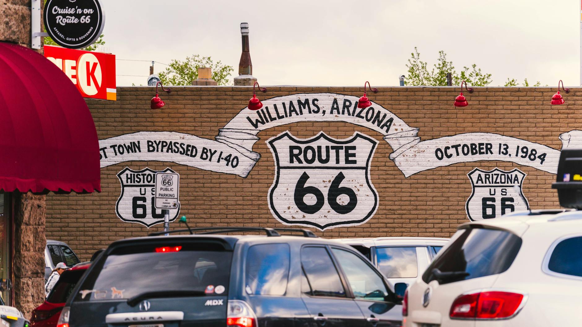
Even by the 1930s, as more roads were paved and route systems like US 66 gained recognition, a cross-country drive remained a serious undertaking. The famous Route 66, immortalized in song and literature, was only fully paved by 1938. Before that, drivers on the iconic "Mother Road" still encountered long stretches of dirt and gravel, particularly through the Southwest.
Navigation by Guesswork
There was no GPS. There were no highway apps. There were barely any reliable maps.
The American Automobile Association began distributing hand-drawn "strip maps" in the early 1900s — essentially a series of hand-sketched directions that told drivers things like "turn left at the red barn" or "follow the telephone poles for 12 miles." The barn might have been painted since the map was drawn. The telephone poles didn't always lead where you expected.
Gas stations were sparse outside of cities. Travelers carried extra fuel cans. Breakdowns in rural areas could mean waiting an entire day for help to arrive — assuming anyone came at all. Tires in that era were fragile and temperamental, and multiple flats on a single day's drive were common enough to be unremarkable.
The physical and logistical demands of early cross-country travel meant that very few people attempted it casually. Those who did were adventurers, journalists, or wealthy eccentrics with the time and resources to treat the journey as the destination.
The Law That Rewired America
The single biggest turning point in the story of American road travel wasn't a new car model or a better tire. It was a piece of legislation.
In 1956, President Eisenhower signed the Federal Aid Highway Act, authorizing the construction of 41,000 miles of interstate highway — the largest public works project in American history. Eisenhower had seen firsthand, during a military convoy across the country in 1919, just how inadequate America's roads were. He'd also seen Germany's Autobahn during World War II and understood what a modern highway network could do for a nation's mobility.
The interstate system that followed wasn't just faster — it was engineered to a completely different standard. Controlled access. Consistent lane widths. Gentle grades. No traffic lights. No intersections. Bridges built to carry military equipment. The design philosophy was ruthlessly focused on uninterrupted movement at speed.
By the time the network reached substantial completion in the 1970s and 80s, the coast-to-coast journey had been fundamentally transformed. What once required two weeks of careful planning could now be done in two days of sustained driving.
The Invisible Layer on Top
The interstate system collapsed the time. But the technology layered on top of it in the decades since has collapsed the anxiety.
GPS navigation, first available to civilians in the 1990s and now built into every smartphone, eliminated the last major variable that made long drives stressful: not knowing where you were. Real-time traffic data means drivers can route around slowdowns before they hit them. Apps show rest stops, fuel prices, and hotel availability miles ahead. Roadside assistance is a phone call away, and that call connects instantly.
Modern cars themselves are almost unrecognizable compared to the vehicles that struggled through the mud of the Lincoln Highway. Air conditioning, cruise control, lane-keeping assistance, and fuel efficiency that would have seemed impossible to a 1920s driver — all of it adds up to a driving experience that is genuinely comfortable across thousands of miles.
Two Weeks to Two Days
That gap — two weeks versus two days — is worth sitting with for a moment.
It represents the combined effect of federal investment, engineering ambition, digital technology, and automotive progress, all layered on top of each other over a century. Each individual improvement seemed incremental at the time. Together, they turned a grueling expedition into something millions of Americans do every summer without giving it much thought.
The road trip is one of America's most enduring cultural traditions. But the version we romanticize today — the open highway, the playlist, the coffee-fueled overnight push — only became possible because of decisions made in congressional hearings and engineering offices that most travelers have never heard of.
Next time you're cruising down I-40 somewhere in New Mexico, watching the miles tick by on autopilot, it's worth remembering: someone once drove this same route with a shovel in the trunk and a hand-drawn map, hoping the next town was where the sketch said it would be.